October 08, 2026


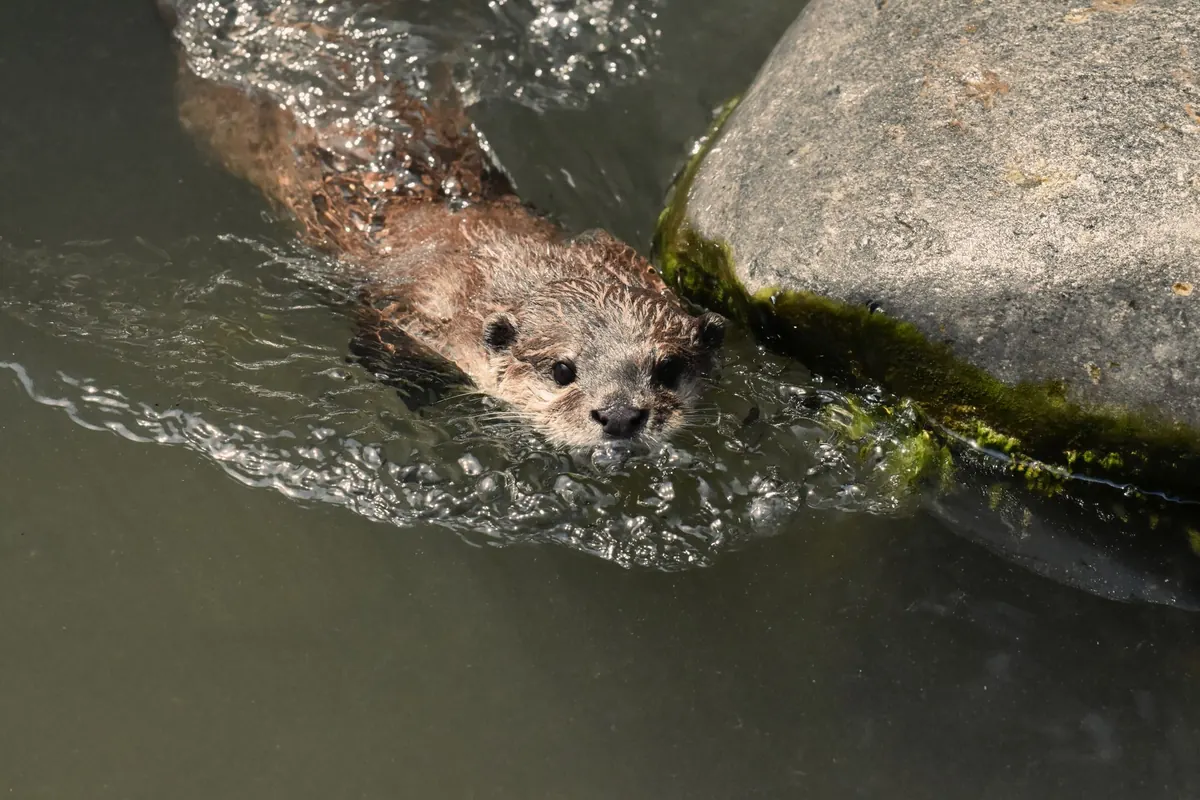
A wetland trail can look beautifully simple on paper: a line of boardwalk across a reedbed, a footbridge, a sluice, then a loop back along the embankment. Then you arrive in February and find the first twenty metres of boardwalk under a hand's width of water, the sluice running hard, and the field you meant to cross ankle-deep in mud.
Wetland maps are honest about the things that do not move — embankments, hides, sluices, the line of a path — and quiet about the things that do. Water is the entire point of these places, and it arrives on tides, on rainfall and on a seasonal rhythm no printed sheet can capture. Learn to read the symbols alongside the conditions and you stop gambling with your walks.
Symbol conventions vary between map series and between publishers. A national survey sheet, a wildlife trust leaflet and a national park panel will each draw a footbridge or a marsh differently, and a well-thumbed reserve leaflet may be several editions out of date. Two minutes on the legend saves an hour of guessing.
Look for these first:
A boardwalk on a map tells you one thing: someone has built a way across wet ground. It does not tell you the deck height, the width, or whether it survived the winter.
Most wetland boardwalks sit a short distance above summer water levels. That margin disappears when the water table rises or a river backs up. Decking is often single-file, with occasional passing places, which matters if you are walking with a group, a pushchair or a dog that likes to investigate reeds. Wet timber grows a film of algae that is genuinely treacherous, and the chicken wire stapled on for grip wears smooth in the middle of the deck.
When a boardwalk is flooded, resist the urge to walk around it. The ground beside it is usually softer than the board you are avoiding, and trampling the margins damages the very habitat the structure protects.
Words like sluice, weir, penstock, culvert and gauging station all mean the same thing in practice: a human hand is controlling water levels here.
Sluices are pinch points. They are often the only crossing for a good distance, they attract mud and debris, and the water on either side can be at very different heights. On tidal sites, a sluice may hold back the incoming tide for hours, so the level you meet in the morning is not the level you will meet on the way back.
Treat them as viewing points, not stepping stones, unless the map and the site signage clearly show a crossing. Never operate gates, and do not lean on low parapets or rusted handrails.
If your route touches an estuary or a tidal creek, a tide table is more useful than any map. High waters are roughly twelve and a half hours apart, so a route that worked at nine in the morning will not work at nine in the evening. Spring tides, around the new and full moon, bring the biggest ranges; neaps bring smaller ones. Wind and low pressure can push water noticeably higher than the printed height.
Tidal creeks are the ones that catch people out. A narrow blue thread on the map can become a channel you would not want to cross within twenty minutes. The same goes for causeways to islands and for any path that crosses a saltmarsh: check whether the crossing is tidal before you commit to it.
And be sceptical of firm-looking mud. Estuarine mud is often deeper and softer than its surface suggests, and it does not behave like the mud on a footpath. If you are unsure, stay on marked ground.
In winter and early spring, expect ditches at capacity, standing water where the map shows a path, and flooding that lingers. Water from the wider catchment can arrive well after the rain has stopped, so a bright, dry day following a wet week is often wetter underfoot than the day the rain fell. On clay soils, water sits; on chalk, levels rise and fall slowly and the ground can stay firm.
Summer runs the opposite way. Water recedes, exposing cracked mud and algae, and vegetation grows over the path until the "dry" route is the overgrown one. Ditches that were chest-deep in March are strands of green by August.
Late spring matters for another reason: ground-nesting birds and grazing livestock. Many reserves ask for dogs on leads, and some close sections entirely for a few weeks. Check before you travel, not at the gate.
Waterproof boots with a decent sole, spare socks, walking poles for balance on wet timber, and a paper map with a compass are the practical kit. Phone signal in reedbeds and behind sea walls is patchy at best.
Tell someone your route and your expected return time. Carry the map rather than trusting a phone, and start earlier than feels necessary — winter light and rising tides both keep their own schedules.
Treat water as information. If a crossing is deeper than you expected, if the level is rising, or if you cannot see the bottom, turn back. The marsh will still be there next week. Keep dogs close near livestock and nesting birds, close gates behind you, and take everything home.
Photo: Ghinzo / Pixabay
Exploring wetlands, one trail at a time..
Copyright © 2026 Marsh Path. All rights reserved. Marsh Path.